
Nantes.
Nantes on foot: 18 places explained, 3 routes drawn on real streets, 4 districts and the essentials for getting around. Sources are cited on every page.
- 18
- places
- 3
- routes
- 4
- districts
The essentials
Numbers refer to the map of places





How we work
A guide to read while walking: every place has its story, every route follows real streets.
Where to stay
Recommended districts to stay within walking distance
- Île de NantesBooking.comHotels.com
- DoulonBooking.comHotels.com
- Place Saint-PierreBooking.comHotels.com
- Cours CambronneBooking.comHotels.com
Partner links: via.city may earn a commission, at no extra cost to you.
Where to start
Distances measured along the line; times are walking time only, without visits.
From the castle to the cathedral
3 stops, from Château des ducs de Bretagne to Place Royale.
1.1 km
15 min on footThe Graslin district
3 stops, from Place Royale to Théâtre Graslin.
550 m
7 min on footFrom the castle to the Isle of Nantes
4 stops, from Tour Bretagne to Machines of the Isle of Nantes.
2.8 km
38 min on foot
Map of places


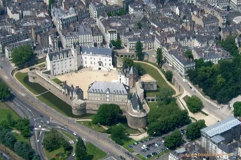
- 1Château des ducs de BretagneWalls and towers
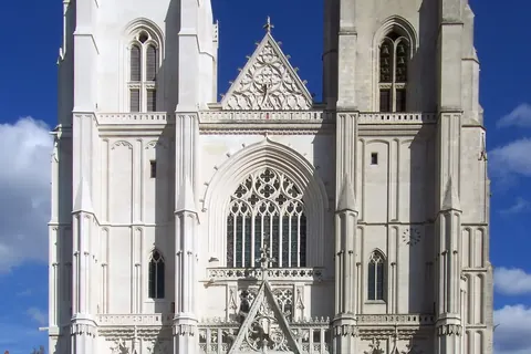
- 2Nantes CathedralChurches and chapels
- 3Passage PommerayeMonuments
- 4Machines of the Isle of NantesMonuments
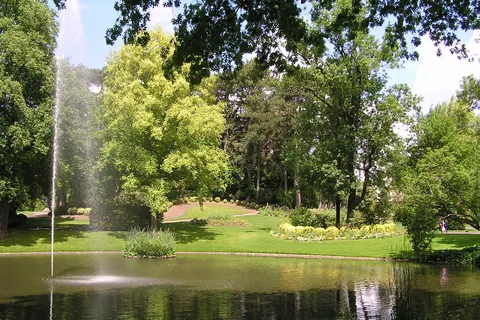
- 5Jardin des plantes de NantesGardens
- 6Fine Arts Museum of NantesMuseums
- 7Place RoyaleSquares and streets
- 8Théâtre GraslinShows
- 9Tour BretagneViewpoints
- 10Memorial to the Abolition of SlaveryMonuments
- 11Basilica of St. Donatian and St. RogatianChurches and chapels
- 12Basilica of Saint NicholasChurches and chapels
- 13Musée DobréeMuseums
- 14Natural History Museum of NantesMuseums
- 15Cours CambronneGardens
- 16Palais de la BourseMonuments
- 17Île de VersaillesGardens
- 18Place Saint-PierreSquares and streets
Districts
Île de Nantes
The île de Nantes is an island located in the centre of the city of Nantes, France, surrounded by two branches of the river Loire: the "bras de la Madeleine" to the north, and the "bras de Pirmil" to the south.
Doulon
Doulon is a former commune in the Loire-Atlantique department, bordering Nantes, which was annexed to the latter in 1908.
Place Saint-Pierre
The Place Saint-Pierre is a public square in Nantes, France.
Cours Cambronne
The Cours Cambronne is a square in the city of Nantes, France.
App in preparation
The Nantes guide has no app yet. Leave your address: a single message on the day it comes out.